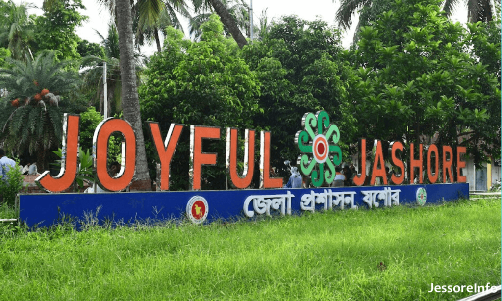
Jhikargacha Upazila is a sub-unit of the Jessore District, which is a district of southwest Bangladesh located within the Khulna Division. This state is famous for its history, culture, and farming.
Table of Contents
ToggleGeography
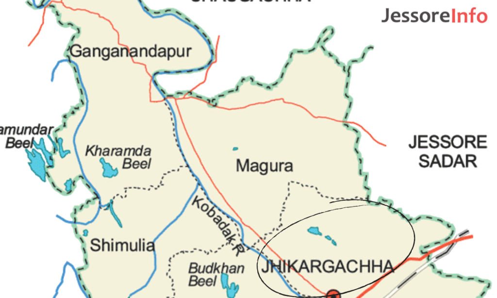
Jhikargacha is sprawled across 307.96 km² of land and is nestled between three other upazilas. In short, if you care to look at the literal meaning of the the name Jhikargacha, you must be aware that on the west we have are, Sharsha Upazila, on the east, we have Jessore Sadar and in the north we have Chowgacha Upazila. The Kopotakkho River traverses the area, supplying vital water resources for farming and everyday living.
Administrative Divisions
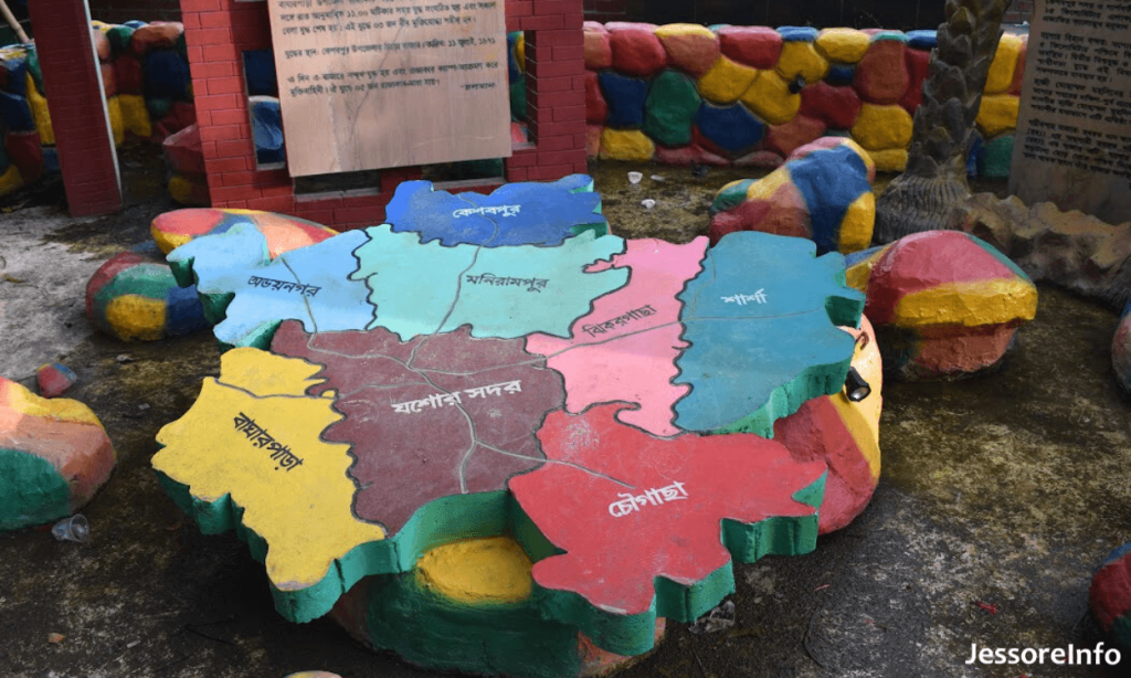
Jhikargacha Upazila is administratively divided into: six wards of Jhikargacha Municipality and 11 union parishads; The union parishads are Bankra, Ganganandapur, Gadkhali, Hajirbagh, Jhikargachha, Magura, Nabharan, Nibaskhola, Panisara, Shankarpur and Shimula. These again are divided into 164 mauzas (revenue villages) and 174 villages. The municipality itself has 9 wards and 15 mahallas.
Population and Demographics
According to the 2011 Census of Bangladesh, Jhikargachha Upazila had a population of 298,908 people and 72,266 households. About 19.8% were younger than 10. The literacy rate was 53.02%, which was better than the national average. Since that time, the population density and distribution have probably evolved further with continuous infrastructural and service provision changes.
History
The history of Jhikargacha is indirectly the history of the Jessore region. In 1863, the western bank of the Kopotakkho River fell under Jessore district, and subsequently Godkhali and other places underwent administrative changes. Indigo factories set up by the British during the colonial period also contributed to the development of the region.
Economy
Jhikargachha relies on agriculture as the main component of its economy. Rich soil along the banks of Kopotakkho River is favorable to the cultivation of rice, jute, vegetables, ginger, onion and native fruits. The upazila itself is famed for flowers, with Godkhali in this upazila being known as the flower producing area of Bangladesh.
Education
There are many educational institutions in Jhikargacha Upazila. Some of the notable secondary schools are Jhikargacha B. M. High School (established in 1936) and Gang Anandapur High School (established in 1940). These institutions have promoted education and literacy in the region.
Culture and Attractions
Jhikargacha is a mix of cultures, one that is, of course, still predominantly Bengali in flavour. The local festivals, fairs, and religious events are enjoyed with enthusiasm. Godkhali flower garden will glow you up — a bright side of Godkhali area that you should not miss!!! The colorful garden will really make your eyes smile.
Transportation
Journey-time to nearest upazila & district: Jhikargacha is well connected by road. Jhikargacha is well connected with Jessore Sadar by its regular bus services between the two. Being close to major highways is also a convenient trail for trade and business, which brings convenience to local businesses and farmers.
Challenges and Developments
Despite the beautiful landscapes surrounding Jhikargacha, like many rural places in Bangladesh, it is plagued with infrastructural, healthcare and educational issues. Despite these issues, however, efforts are being made both by the government and the citizens to work towards sustainable development and improve the quality of life for its residents.
Jhakargaccha Upazila is a place that is furrowed with heritage, nature and culture. The specificity of this region is defined by Next to it, favorable quality of land and hardworking people, which explains the importance of this region in the Jessore District and overall in Khulna Division. Jhikargacha is in a great position to capitalize on these strengths as development continues, leaving all of us once again excited for what the future will hold for the residents of the city.