

Churamonkathi Jessore: Map, Location & Local Guide
Churamonkathi Jessore: Map, Location & Local Guide Jashore Local Area Guide Churamonkathi—also written as Churamankati—is a union and local area
Explore the heart of Jessore through its villages. This category offers a complete and organized list of villages across all upazilas (sub-districts) in Jessore. From well-known rural communities to lesser-known peaceful corners, we bring you detailed information about each village including union names, administrative details, local attractions, and cultural insights.
Churamonkathi Jessore: Map, Location & Local Guide Jashore Local Area Guide Churamonkathi—also written as Churamankati—is a union and local area

Bagherpara Jessore isn’t just another dot on the map—it’s a place where centuries of stories are still alive. From ancient

Bagachra Jessore is a union parishad under the Sharsha upazila of Jessore District, Khulna Division, Bangladesh. It has an approximate

Sagardari Jessore — a territory in Jessore’s Keshabpur Upazila — is more than a dot on the map. It’s where

Navaron Jessore: Location, Map, Transport & Local Guide Sharsha, Jashore local guide Find Navaran Bazar and Plan Your Journey Navaron

Quick answer: Jessore District—officially spelled Jashore—has 8 upazilas: Jashore Sadar, Sharsha, Manirampur, Keshabpur, Jhikargachha, Chaugachha, Bagherpara and Abhaynagar. The following

Jessore to Benapole: Route, Train and Border Travel Guide Verified Route and Border-Travel Guide Benapole is a border town and
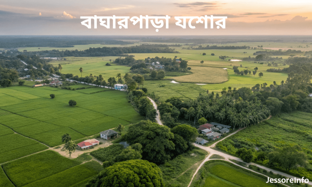
Bagherpara Upazila: Verified Information and Local Guide Information checked: 28 October 2026 Bagherpara Upazila at a Glance Bagherpara—also searched as